Ask for a map.
Get a map.
Intuo is a free skill pack that teaches your AI agent to make real maps — and to find the public data first. Census, weather, parcels, districts, routes.
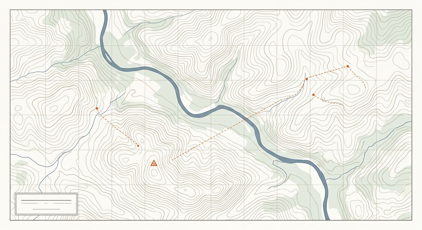
Stop skipping the map
GIS software costs four figures a year and assumes a degree. Most people who need a map for work just skip it instead. That's the problem Intuo ends.
Your spreadsheet, on a map, in one ask
Customers, members, students, stops — attach the file, describe the map. Geocoding, cleanup, and styling happen without you.
The data comes to you
The skills know where public data lives and how to fetch it — census demographics, NOAA weather, county parcels, political districts, roads.
Make it again next Monday
Real map needs repeat: weekly routes, monthly board maps, quarterly territories. Hosted maps re-run when your data changes.
Your agent, finally good at maps
Claude and Codex already try to make maps — badly. Intuo gives them the craft: real data sources, sane defaults, legible cartography.
Maps you'd actually publish
Drawn by an agent, not a template — legible, styled, and cited, straight out of the conversation.
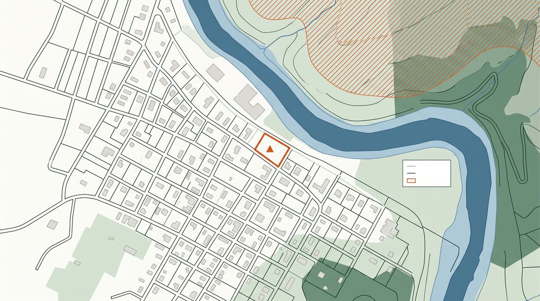
One property's flood and wildfire exposure, from an address.
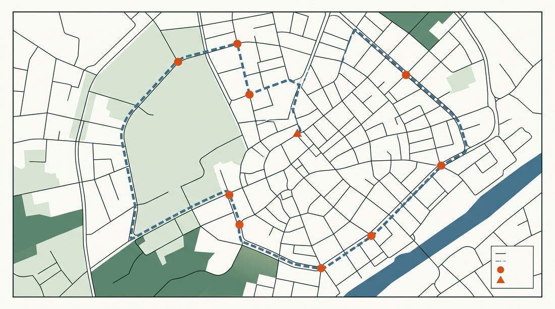
Monday's seven stops, ordered so nobody drives in circles.
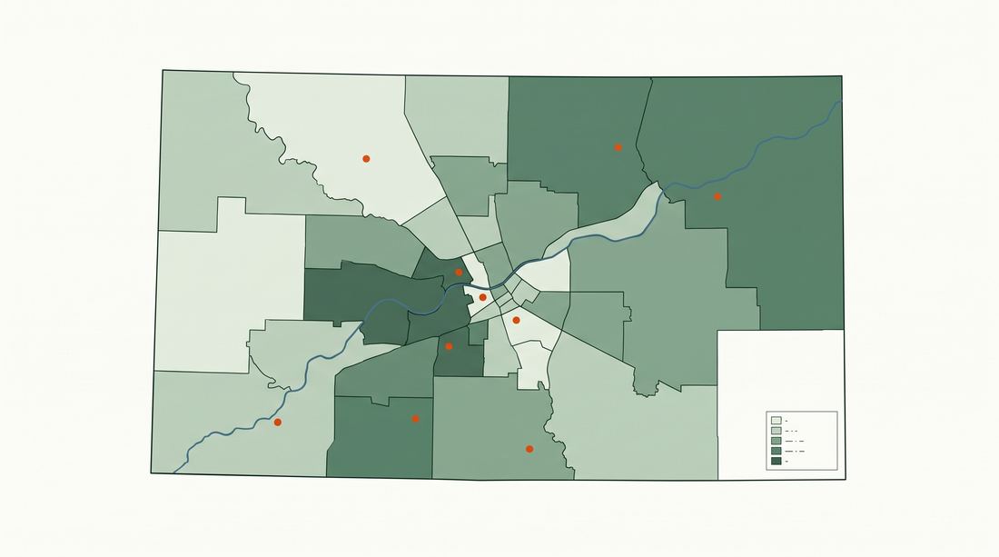
County tracts shaded by ACS income, your locations on top.
Will the map be right?
It's the first question everyone asks about an AI-made map. We don't claim accuracy — we show the mechanism.
214/214, or we say so
Geocoding results come with the match count. Partial matches and failures are flagged, never silently dropped.
Every map cites its data
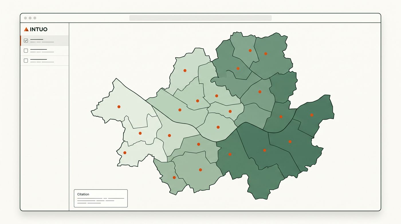
ACS vintage, TIGER/Line year, county source — printed in the map margin, the way a real quad sheet carries its datum.
Nothing publishes itself
You review the map and the data behind it before it gets a public link. The agent drafts; you sign the sheet.
One county, one honest picture
This map is live — drag it, hover it. Every census tract in Deschutes County, shaded by real 2020 population density from the Census Bureau. The story it tells: three-quarters of the county lives on 7% of its land. That's the kind of map Intuo makes from one ask.
One conversation, one finished map
A real repeat need — members by congressional district — from ask to hosted link.
Eight skills, one vocabulary
Each skill is one job your agent learns to do properly — including where the data lives.
Addresses in, coordinates out. Handles messy columns, PO boxes, and partial matches honestly.
Demographics and income from ACS by tract, ZIP, or county — joined to your data.
NOAA forecasts, smoke, storm, and hazard layers on any map area.
Congressional, school, and voting district lookups for every row in your file.
Property lines, owners, and zoning from county open-data sources.
Multi-stop route planning and drive-time areas for reps, crews, and deliveries.
Draw and rebalance regions by count, revenue, or workload — fairly and repeatably.
Legible output by default: sane colors, labels, legends, and a citation on every map.
Don't wait. Found.
The skills will be free for everyone, forever. The first 500 people on the founding list get more than early access.
What founding gets you
- 01Skills before launch. The pack lands in your agent while everyone else is still waiting.
- 02A say in what ships next. Founding members vote on which skills and map templates we build first.
Fair questions
When does it launch?
Founding members get the skills first — we open access in cohorts as the pack stabilizes, then release publicly.
Do I need to be a developer?
No. If you can chat with Claude, you can use Intuo — you'll add the pack in the Claude app and ask for a map. Command-line installs exist for people who work in Claude Code or Codex.
Do I need GIS experience?
That's the point of Intuo: no. You describe the map you want; the skills handle geocoding, data joins, and cartography. If you do know GIS, everything exports to GeoJSON and plays fine with QGIS.
Is it really free?
The skills are free and open source, permanently. Hosted maps have a real free tier, because most people only need a few maps that stay current.
Where does the data come from?
Public sources: the US Census Bureau, NOAA, county open-data portals, and OpenStreetMap. Every map carries its sources in the margin, like a proper map should.
Which agents does it work with?
Claude (app and web), Claude Code, Claude Cowork, Codex CLI, and Cursor. One pack, builds tailored per harness.
The map you keep
meaning to make
Join the founding list and get the skills before everyone else does.
Join the founding list